-

Gorbals
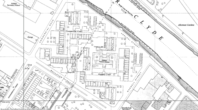
Location: GlasgowLifespan: 1960s- An inner-city area of Glasgow on the banks of the River Clyde, Gorbals has played host to successive waves of regeneration and a dizzying turnover of housing projects over the past hundred years. The wave of new estates built at Gorbals in the 1960s would have mixed fates – some lasting only twenty years; others…
-
Data and debates
Maria Miller, Minister for Women and Equality, recently stated her support for reducing the legal time limit for abortions from 24 weeks to 20, reanimating the debate between those who believe the time limit should be reduced and those who believe it should remain as it is. The debate on lowering the legal time limit…
-
The reality of young people’s aspirations
Adults often complain that young people today aspire to fame and wealth rather than traditional skilled occupations: approaching the end of compulsory education, today’s 15 and 16 year-olds want to be footballers or singers, not teachers or lawyers. Not according to data from the final wave of the British Household Panel Survey, which asked 1222 young…
-
The unemployment puzzle
This graph summarises one of the big puzzles of our time: even when times are good, why are we unable to replicate the low rates of unemployment that prevailed 50 years ago? In the UK, and across much of Western Europe, unemployment has never been as low as it was during the 1960s and early 70s. Even during the early 2000s…
-
Power and policy
“The best way to understand what any set of institutions, policies, and practices does, is to see it from the standpoint of those who have the least power.” Michael Apple
-
Where is the Olympic Torch?
[map z=”7″ h=”387″ w=”581″ address=”St Albans” fusion=”4464883″ id=”map3″] The burning question. You can see the route of the Olympic Torch relay here on the official website for the London 2012 Games, but I wanted to make my own map. The route of the Olympic Torch relay is published by LOCOG and available as a file here, courtesy…
-

Ferrier
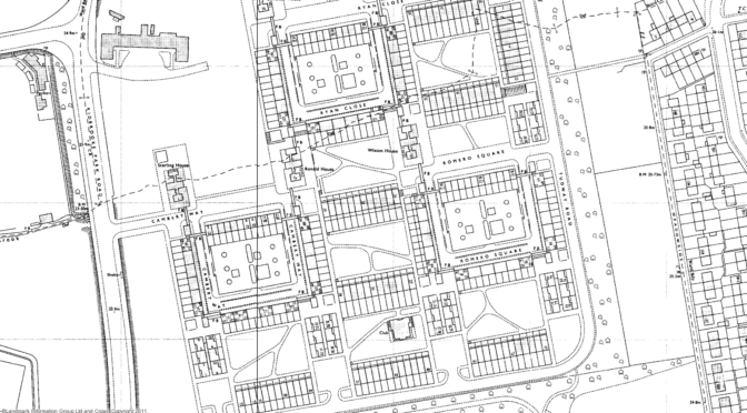
Location: LondonLifespan: 1968-2009 The Ferrier Estate in south east London consisted of two sites straddling Kidbrooke Park Road. The estate was designed by the Greater London Council Architects Department and was built on a mixture of brownfield land and a patch of allotments – a similar site to Broadwater Farm. The system-built blocks making up the estate…
-
The Arndale’s hidden secrets
When Manchester’s Arndale Centre was completed in 1979 its massive scale and lurid skin of yellow tiles earned it the nickname The Giant’s Urinal. For a building with such a presence, and such a reputation, the Arndale has nonetheless managed to keep two remarkable secrets from Manchester’s shoppers. First up is one of the only…
-
The making of a garden city
[portfolio_slideshow] My research is based in Wythenshawe, just south of Manchester. Today Wythenshawe is home to over 70,000 people, but at the start of the 20th century it was open countryside and farmland. What is now one of Europe’s largest areas of social housing was built entirely from scratch, mostly between the 1920s and 60s, to rehouse tens of thousands of…
-
Mapping deprivation in Manchester
Here’s a map of deprivation in Greater Manchester. The most deprived areas are shaded dark red; the least deprived areas dark blue. Each small region on the map is a Lower Super Output Area (LSOA). There are 34,378 LSOAs in England and Wales, and on average an LSOA covers an area with a population of…